Kategorier i Mordialloc
Industries
Bedriftsfordeling etter bransje i Mordialloc
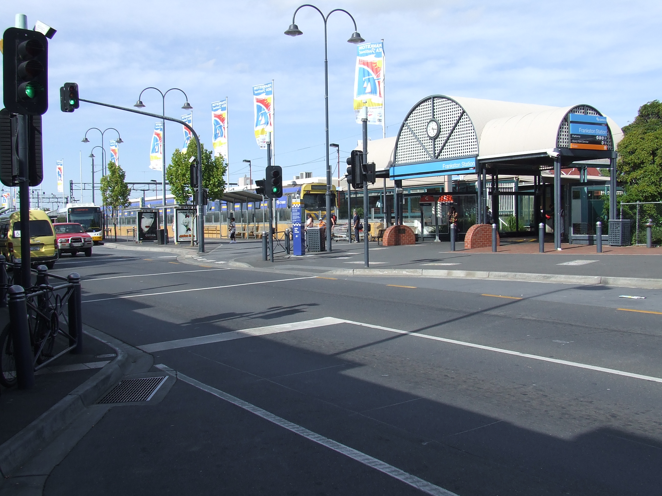
Mordialloc fakta
| Område | 4.5 km² |
| Befolkning | 9 077 |
| Mannlig befolkning | 4 388 (48.3%) |
| Befolkning av kvinner | 4 689 (51.7%) |
| Befolkningsendring (1975 to 2020) | +85.7% |
| Befolkningsendring (2000 to 2020) | +35.1% |
| Gjennomsnittsalder | 38.3 år (Menn: 37.4, Kvinner: 39.1) |
| Nabolag | Carlton, Richmond, Melbourne, Southbank |
| Lokal tid | |
| Tidssone | østaustralsk normaltid |
| Bredde- & lengdegrad | -38.00000, 145.08333 |
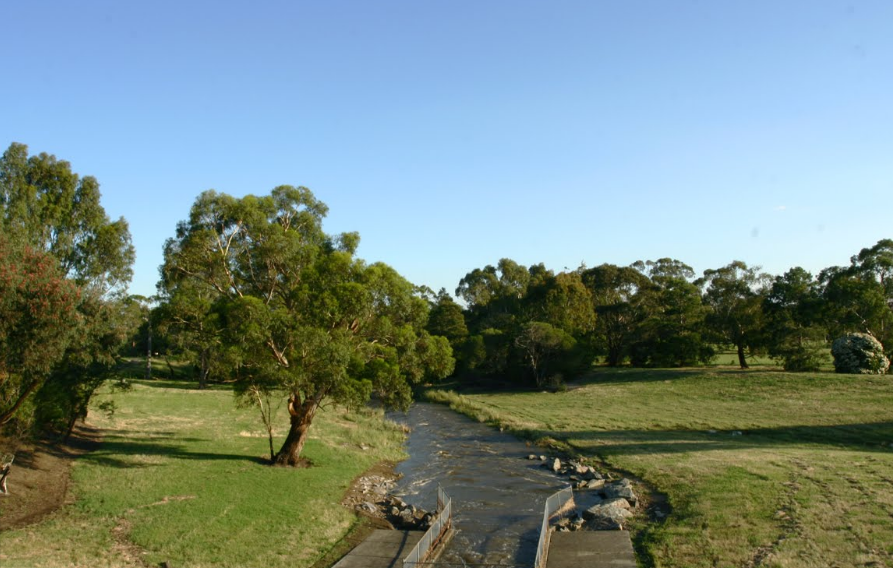
Kart over Mordialloc
Interaktivt kart
Mordialloc befolkning
Årene 1975 til 2020
| Data | 1975 | 1990 | 2000 | 2015 | 2020 |
|---|---|---|---|---|---|
| Befolkning | 4 887 | 6 014 | 6 721 | 8 430 | 9 077 |
| Befolkningstetthet | 1 086 / km² | 1 336,4 / km² | 1 493,6 / km² | 1 873,3 / km² | 2 017,1 / km² |
Mordialloc befolkningsendring fra 2000 til 2015
Økning på 25.4% fra 2000 til 2015
| Beliggenhet | Endring siden 1975 | Endring siden 1990 | Endring siden 2000 |
|---|---|---|---|
| Mordialloc | +72.5% | +40.2% | +25.4% |
| Victoria (Australia) | +72.6% | +40.2% | +25.5% |
| Australia | +72.6% | +40.3% | +25.5% |
Mordialloc medianalder
Medianalder: 38.3 år
| Beliggenhet | Gjennomsnittsalder | Median alder (kvinne) | Median alder (mann) |
|---|---|---|---|
| Mordialloc | 38.3 yrs | 39.1 yrs | 37.4 yrs |
| Victoria (Australia) | 37.6 yrs | 38.6 yrs | 36.6 yrs |
| Australia | 37.7 yrs | 38.6 yrs | 36.8 yrs |
Mordialloc befolkningstetthet
Befolkningstetthet: 2 017 / km²
| Beliggenhet | Befolkning | Område | Tetthet |
|---|---|---|---|
| Mordialloc | 9 077 | 4,5 km² | 2 017 / km² |
| Victoria (Australia) | 5,9 million | 227 400,2 km² | 26,1 / km² |
| Australia | 23,8 million | 7 690 961,5 km² | 3,1 / km² |
Mordialloc historisk og prognostisert befolkning
Estimert befolkning fra 1860 til 2100
- JRC (European Commission's Joint Research Centre) arbeid med GHS built-up grid
- CIESIN (Center for International Earth Science Information Network)
- [link] Klein Goldewijk, K., Beusen, A., Doelman, J., and Stehfest, E.: Anthropogenic land use estimates for the Holocene – HYDE 3.2, Earth Syst. Sci. Data, 9, 927–953, https://doi.org/10.5194/essd-9-927-2017, 2017.
Retningsnumre
Prosent Områdekoder bruk av bedrifter i Mordialloc
Prisfordeling
Bedriftsfordeling etter pris for Mordialloc
Human Development Index (HDI)
Statistisk sammensatt indeks over forventet levealder, utdanning og inntekt per innbygger.
Mordialloc CO2-utslipp
Utslipp av karbondioksid (CO2) per innbygger i tonn per år
| Beliggenhet | CO2-utslipp | CO2-utslipp per innbygger | CO2-utslippsintensitet |
|---|---|---|---|
| Mordialloc | 166,177 tn | 18.31 tn | 36,928.2 tons/km² |
| Victoria (Australia) | 101,123,087 tn | 17.02 tn | 444.7 tons/km² |
| Australia | 401,155,564 tn | 16.88 tn | 52.2 tons/km² |
| CO2-utslipp i 2013 (tonn/år) | 166,177 tn |
| CO2-utslipp i 2013 (tonn/år) per person | 18.31 tn |
| CO2-utslippsintensitet i 2013 (tonn/km²/år) | 36,928.2 tons/km² |
Naturlige farer
Relative risk out of 10
| Fare | Risk Level |
|---|---|
| Flood | Medium (7) |
| Earthquake | Medium (4) |
* Risk, particularly concerning flood or landslide, may not be for the entire area.
- Dilley, M., R.S. Chen, U. Deichmann, A.L. Lerner-Lam, M. Arnold, J. Agwe, P. Buys, O. Kjekstad, B. Lyon, and G. Yetman. 2005. Natural Disaster Hotspots: A Global Risk Analysis. Washington, D.C.: World Bank. https://doi.org/10.1596/0-8213-5930-4.
- Center for Hazards and Risk Research - CHRR - Columbia University, Center for International Earth Science Information Network - CIESIN - Columbia University. 2005. Global Flood Hazard Frequency and Distribution. Palisades, NY: NASA Socioeconomic Data and Applications Center (SEDAC). https://doi.org/10.7927/H4668B3D.
- Center for Hazards and Risk Research - CHRR - Columbia University, Center for International Earth Science Information Network - CIESIN - Columbia University. 2005. Global Earthquake Hazard Distribution - Peak Ground Acceleration. Palisades, NY: NASA Socioeconomic Data and Applications Center (SEDAC). https://doi.org/10.7927/H4BZ63ZS.
Nylige jordskjelv i nærheten
Størrelse 3.0 og større
| Dato▼ | Tid↕ | Magnitude↕ | Distance↕ | Dybde↕ | Beliggenhet↕ | link |
|---|---|---|---|---|---|---|
| 12/3/14 | 7:05 PM | 3.6 | 33.5 km | 10,000 m | 11km S of Beaconsfield Upper, Australia | usgs.gov |
| 5/1/13 | 4:41 PM | 3.1 | 54.2 km | 10,000 m | 7km N of Leopold, Australia | usgs.gov |
| 7/20/12 | 9:11 AM | 4.6 | 99.8 km | 13,000 m | near the southeast coast of Australia | usgs.gov |
| 7/5/11 | 9:16 AM | 3.7 | 78.1 km | 6,000 m | near the southeast coast of Australia | usgs.gov |
| 7/5/11 | 2:37 AM | 3.3 | 83.5 km | 0 m | near the southeast coast of Australia | usgs.gov |
| 7/5/11 | 1:32 AM | 4.4 | 80.4 km | 2,000 m | near the southeast coast of Australia | usgs.gov |
| 3/30/10 | 8:08 AM | 3 | 36.8 km | 10,000 m | near the southeast coast of Australia | usgs.gov |
| 9/22/09 | 8:20 AM | 3.1 | 34.3 km | 0 m | near the southeast coast of Australia | usgs.gov |
| 3/18/09 | 5:28 AM | 4.3 | 80.1 km | 15,000 m | near the southeast coast of Australia | usgs.gov |
| 3/6/09 | 9:55 AM | 4.5 | 82.6 km | 14,000 m | near the southeast coast of Australia | usgs.gov |

Om våre data
Dataene på denne siden er estimert ved hjelp av en rekke offentlig tilgjengelige verktøy og ressurser. De leveres uten garanti og kan inneholde unøyaktigheter. Bruk på eget ansvar.