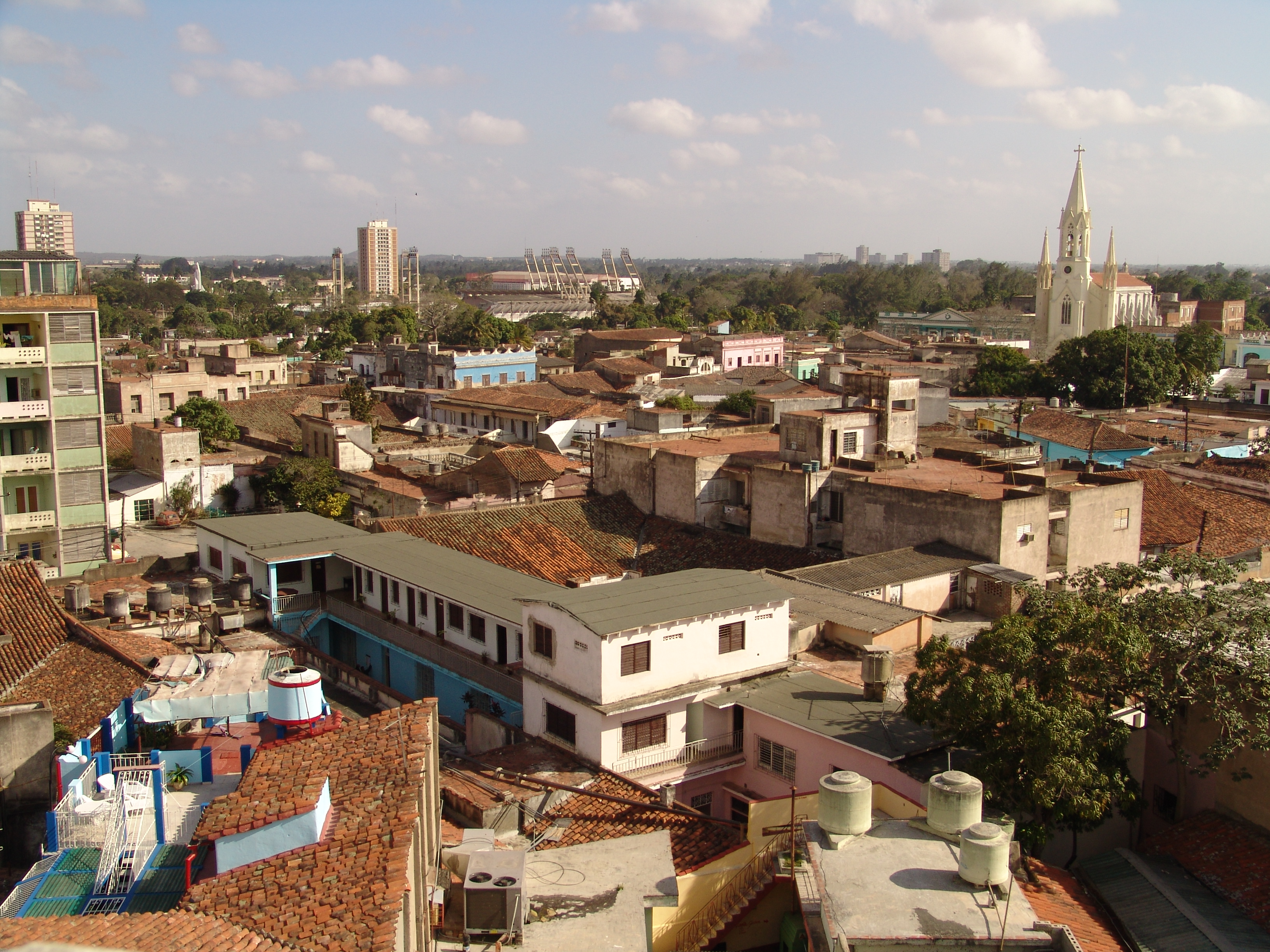
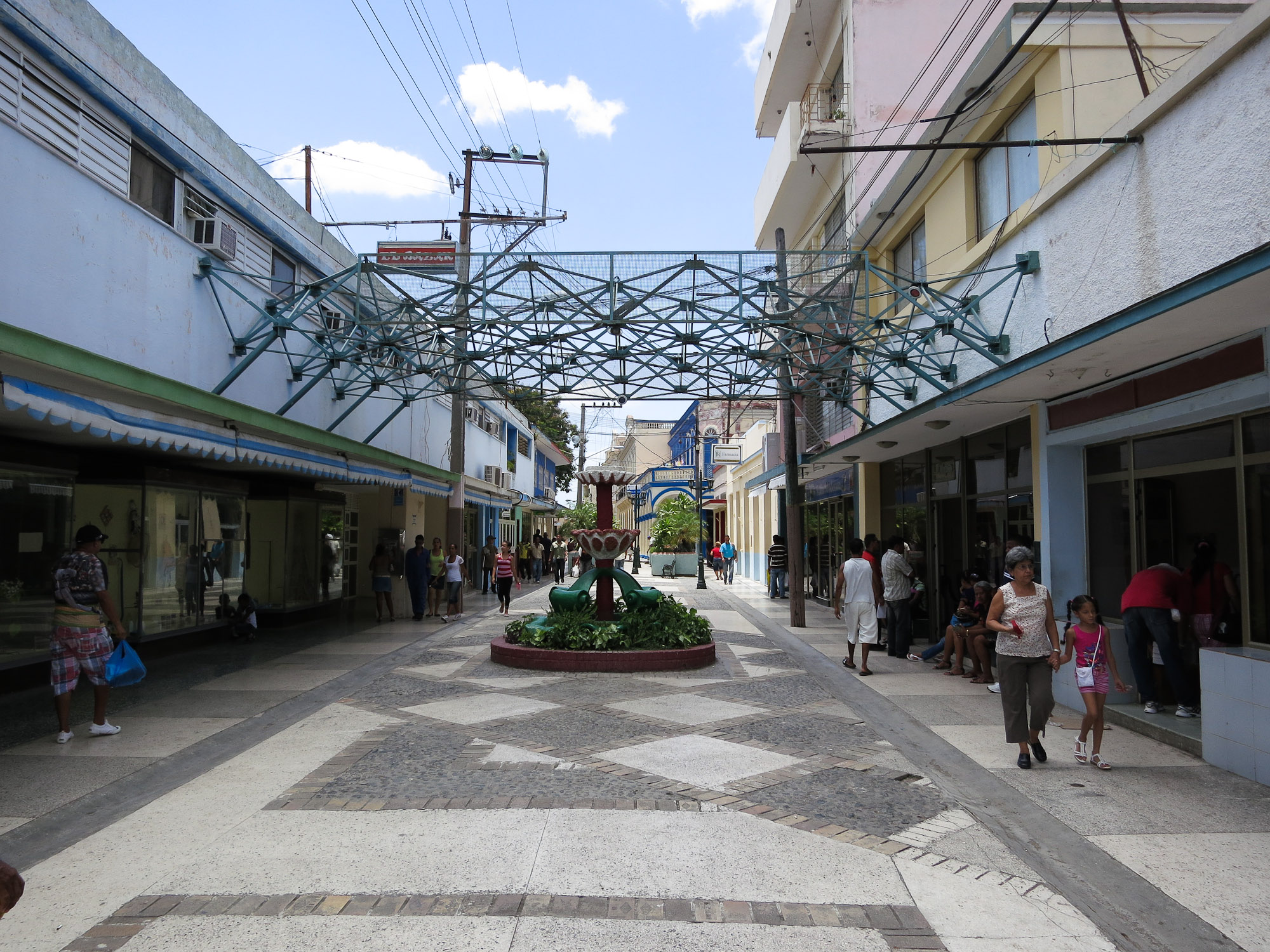
Jobabo fakta
| Område | 818.3 km² |
| Befolkning | 44 216 |
| Mannlig befolkning | 22 658 (51.2%) |
| Befolkning av kvinner | 21 558 (48.8%) |
| Befolkningsendring (1975 to 2020) | -17.0% |
| Befolkningsendring (2000 to 2020) | -13.0% |
| Gjennomsnittsalder | 38.8 år (Menn: 38.2, Kvinner: 39.3) |
| BNP per innbygger (PPP) | $1 479 (2022) |
| Lokal tid | |
| Tidssone | cubansk sommertid |
| Bredde- & lengdegrad | 20.90748, -77.28194 |
| Postnumre | 77500 |
Kart over Jobabo
Interaktivt kart
Jobabo befolkning
Årene 1975 til 2030
| Data | 1975 | 1990 | 2000 | 2015 | 2020 | 2025* | 2030* |
|---|---|---|---|---|---|---|---|
| Befolkning | 53 272 | 52 766 | 50 835 | 45 381 | 44 216 | 43 312 | 42 413 |
| Befolkningstetthet | 65,1 / km² | 64,5 / km² | 62,1 / km² | 55,5 / km² | 54 / km² | 52,9 / km² | 51,8 / km² |
* Prognostisert
Kilder: JRC (European Commission's Joint Research Centre) arbeid med GHS built-up gridJobabo befolkningsendring fra 2000 til 2020
Nedgang på 13% fra 2000 til 2020
| Beliggenhet | Endring siden 1975 | Endring siden 1990 | Endring siden 2000 |
|---|---|---|---|
| Jobabo | -17% | -16.2% | -13% |
| Las Tunas (provins) | — | — | — |
| Cuba | — | — | — |
Kilder: JRC (European Commission's Joint Research Centre) arbeid med GHS built-up grid
Jobabo medianalder
Medianalder: 38.8 år
| Beliggenhet | Gjennomsnittsalder | Median alder (kvinne) | Median alder (mann) |
|---|---|---|---|
| Jobabo | 38.8 yrs | 39.3 yrs | 38.2 yrs |
| Las Tunas (provins) | 38.8 yrs | 39.3 yrs | 38.2 yrs |
| Cuba | 39.5 yrs | 40.4 yrs | 38.6 yrs |
Kilder: CIESIN (Center for International Earth Science Information Network)
Jobabo befolkningstetthet
Befolkningstetthet: 54 / km²
| Beliggenhet | Befolkning | Område | Tetthet |
|---|---|---|---|
| Jobabo | 44 216 | 818,3 km² | 54 / km² |
| Las Tunas (provins) | 542 989 | 6 596,5 km² | 82,3 / km² |
| Cuba | 11,2 million | 111 150,7 km² | 101 / km² |
Kilder: JRC (European Commission's Joint Research Centre) arbeid med GHS built-up grid
Jobabo historisk og prognostisert befolkning
Estimert befolkning fra 1750 til 2100
Kilder:
- JRC (European Commission's Joint Research Centre) arbeid med GHS built-up grid
- CIESIN (Center for International Earth Science Information Network)
- [link] Klein Goldewijk, K., Beusen, A., Doelman, J., and Stehfest, E.: Anthropogenic land use estimates for the Holocene – HYDE 3.2, Earth Syst. Sci. Data, 9, 927–953, https://doi.org/10.5194/essd-9-927-2017, 2017.
Human Development Index (HDI)
Statistisk sammensatt indeks over forventet levealder, utdanning og inntekt per innbygger.
Kilde: [link] Kummu, M., Taka, M. &Guillaume, J. Gridded global datasets for Gross Domestic Product and Human Development Index over 1990–2015. Sci Data 5, 180004 (2018) doi:10.1038/sdata.2018.4
Jobabo bruttonasjonalprodukt (BNP)
BNP per innbygger, PPP (faste internasjonale dollar fra 2017)
| Data | 1990 | 1995 | 2000 | 2005 | 2010 | 2015 | 2020 | 2022 |
|---|---|---|---|---|---|---|---|---|
| BNP per innbygger | $1 028 | $114 | $341 | $692 | $1 572 | $1 813 | $1 330 | $1 479 |
| Totalt BNP | $50,8 mill. | $5,7 mill. | $17,1 mill. | $33,6 mill. | $73 mill. | $81 mill. | $58,2 mill. | $64,3 mill. |
Kilde: [link] Kummu, M., Kosonen, M. & Masoumzadeh Sayyar, S. Downscaled gridded global dataset for gross domestic product (GDP) per capita PPP over 1990–2022. Sci Data 12, 178 (2025) doi:10.1038/s41597-025-04487-x
Jobabo CO2-utslipp
Utslipp av karbondioksid (CO2) per innbygger i tonn per år
| Beliggenhet | CO2-utslipp | CO2-utslipp per innbygger | CO2-utslippsintensitet |
|---|---|---|---|
| Jobabo | 152,528 tn | 3.45 tn | 186.4 tons/km² |
| Las Tunas (provins) | 1,868,435 tn | 3.44 tn | 283.2 tons/km² |
| Cuba | 38,319,156 tn | 3.41 tn | 344.7 tons/km² |
Kilder: [link] Moran, D., Kanemoto K; Jiborn, M., Wood, R., Többen, J., and Seto, K.C. (2018) Carbon footprints of 13,000 cities. Environmental Research Letters DOI: 10.1088/1748-9326/aac72a
Jobabo CO2-utslipp
| CO2-utslipp i 2013 (tonn/år) | 152,528 tn |
| CO2-utslipp i 2013 (tonn/år) per person | 3.45 tn |
| CO2-utslippsintensitet i 2013 (tonn/km²/år) | 186.4 tons/km² |
Naturlige farer
Relativ risiko av 10
| Fare | Risikonivå |
|---|---|
| Tørke | Middels (4) |
| Oversvømmelse | Middels (7) |
| Jordskjelv | Middels (4.4) |
| Cyclone | Høy (8) |
* Risiko, spesielt for flom eller skred, kan ikke være for hele området.
Kilder:
- Dilley, M., R.S. Chen, U. Deichmann, A.L. Lerner-Lam, M. Arnold, J. Agwe, P. Buys, O. Kjekstad, B. Lyon, and G. Yetman. 2005. Natural Disaster Hotspots: A Global Risk Analysis. Washington, D.C.: World Bank. https://doi.org/10.1596/0-8213-5930-4.
- Center for Hazards and Risk Research - CHRR - Columbia University, Center for International Earth Science Information Network - CIESIN - Columbia University, International Bank for Reconstruction and Development - The World Bank, and United Nations Environment Programme Global Resource Information Database Geneva - UNEP/GRID-Geneva. 2005. Global Cyclone Hazard Frequency and Distribution. Palisades, NY: NASA Socioeconomic Data and Applications Center (SEDAC). https://doi.org/10.7927/H4CZ353K.
- Center for Hazards and Risk Research - CHRR - Columbia University, Center for International Earth Science Information Network - CIESIN - Columbia University, and International Research Institute for Climate and Society - IRI - Columbia University. 2005. Global Drought Hazard Frequency and Distribution. Palisades, NY: NASA Socioeconomic Data and Applications Center (SEDAC). https://doi.org/10.7927/H4VX0DFT.
- Center for Hazards and Risk Research - CHRR - Columbia University, Center for International Earth Science Information Network - CIESIN - Columbia University. 2005. Global Flood Hazard Frequency and Distribution. Palisades, NY: NASA Socioeconomic Data and Applications Center (SEDAC). https://doi.org/10.7927/H4668B3D.
- Center for Hazards and Risk Research - CHRR - Columbia University, Center for International Earth Science Information Network - CIESIN - Columbia University. 2005. Global Earthquake Hazard Distribution - Peak Ground Acceleration. Palisades, NY: NASA Socioeconomic Data and Applications Center (SEDAC). https://doi.org/10.7927/H4BZ63ZS.

Om våre data
Dataene på denne siden er estimert ved hjelp av en rekke offentlig tilgjengelige verktøy og ressurser. De leveres uten garanti og kan inneholde unøyaktigheter. Bruk på eget ansvar.