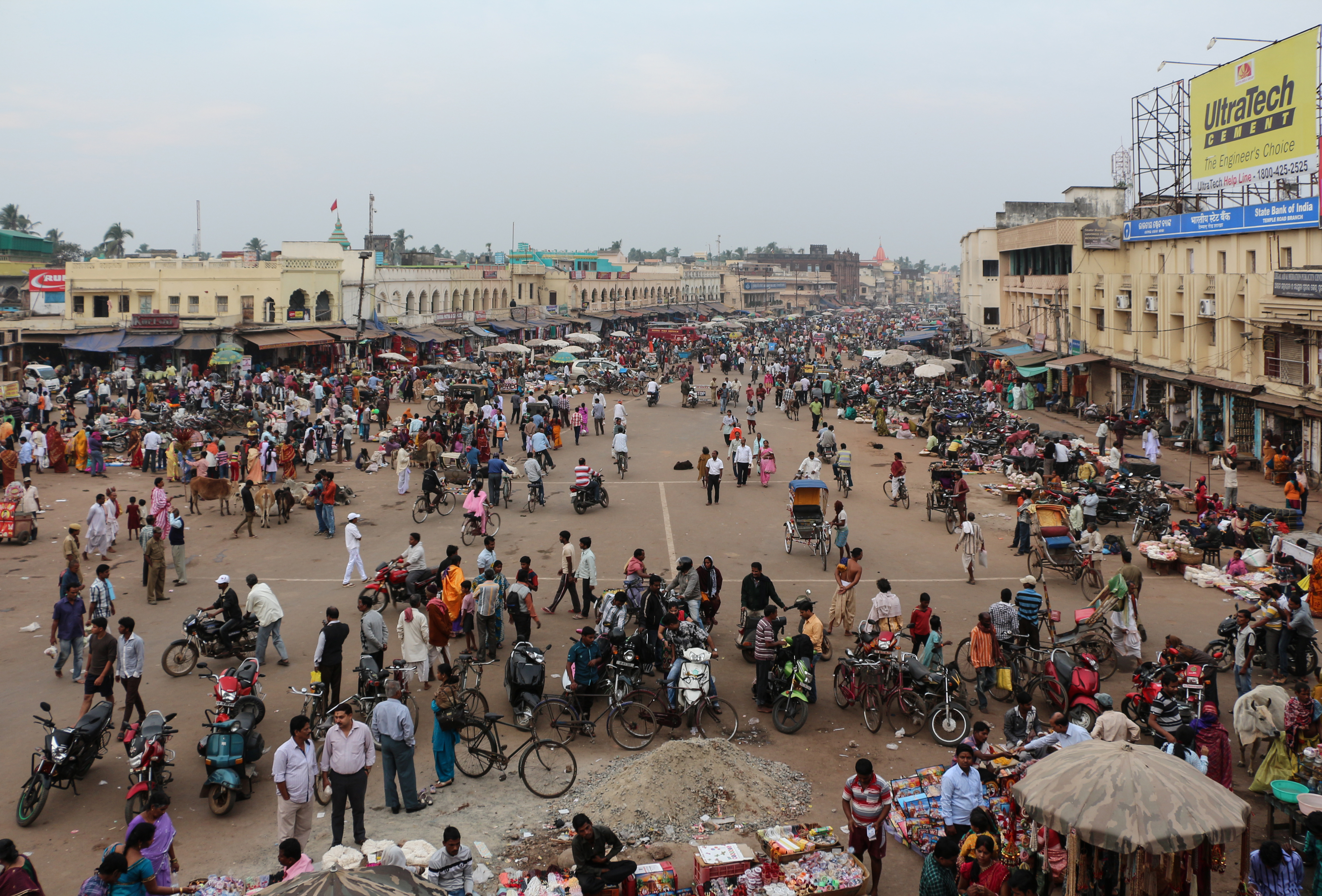
Kategorier i Ganjām
Bransjer
Bedriftsfordeling etter bransje i Ganjām
| Bransjebeskrivelse | Antall bedrifter |
|---|---|
| Hundu-tempel | 1,077 |
| Handling | 622 |
| Undervisning | 592 |
| Handling annet | 366 |
| Restauranter | 263 |
| Elektronikkbutikker | 244 |
| Matbutikker og supermarkeder | 237 |
| Reise og transport | 201 |
Ganjām fakta
| Område | 31.8 km² |
| Befolkning | 31 401 |
| Mannlig befolkning | 15 661 (49.9%) |
| Befolkning av kvinner | 15 740 (50.1%) |
| Befolkningsendring (1975 to 2020) | +142.5% |
| Befolkningsendring (2000 to 2020) | +49.2% |
| Gjennomsnittsalder | 26.2 år (Menn: 25.9, Kvinner: 26.5) |
| BNP per innbygger (PPP) | $6 873 (2022) |
| Nabolag | Golanthara, Tota Sahi, Konisi, Gopalpur Cantonment, Randha |
| Lokal tid | |
| Tidssone | indisk tid |
| Bredde- & lengdegrad | 19.38705, 85.05079 |
| Postnumre | 760001, 760002, 760003, 760004, 760005, More |
Kart over Ganjām
Interaktivt kart
Ganjām befolkning
Årene 1975 til 2030
| Data | 1975 | 1990 | 2000 | 2015 | 2020 | 2025* | 2030* |
|---|---|---|---|---|---|---|---|
| Befolkning | 12 947 | 17 289 | 21 040 | 23 576 | 31 401 | 31 690 | 32 227 |
| Befolkningstetthet | 407,8 / km² | 544,5 / km² | 662,7 / km² | 742,6 / km² | 989 / km² | 998,1 / km² | 1 015 / km² |
Ganjām befolkningsendring fra 2000 til 2020
Økning på 49.2% fra 2000 til 2020
| Beliggenhet | Endring siden 1975 | Endring siden 1990 | Endring siden 2000 |
|---|---|---|---|
| Ganjām | +142.5% | +81.6% | +49.2% |
| Odisha | — | — | — |
| India | — | — | — |
Ganjām medianalder
Medianalder: 26.2 år
| Beliggenhet | Gjennomsnittsalder | Median alder (kvinne) | Median alder (mann) |
|---|---|---|---|
| Ganjām | 26.2 yrs | 26.5 yrs | 25.9 yrs |
| Odisha | 26.6 yrs | 26.6 yrs | 26.6 yrs |
| India | 24.9 yrs | 25.4 yrs | 24.5 yrs |
Ganjām befolkningstetthet
Befolkningstetthet: 989 / km²
| Beliggenhet | Befolkning | Område | Tetthet |
|---|---|---|---|
| Ganjām | 31 401 | 31,8 km² | 989 / km² |
| Odisha | 44,8 million | 155 874,5 km² | 287 / km² |
| India | 1 307 million | 3 083 563,4 km² | 424 / km² |
Ganjām historisk og prognostisert befolkning
Estimert befolkning fra 0 til 2100
- JRC (European Commission's Joint Research Centre) arbeid med GHS built-up grid
- CIESIN (Center for International Earth Science Information Network)
- [link] Klein Goldewijk, K., Beusen, A., Doelman, J., and Stehfest, E.: Anthropogenic land use estimates for the Holocene – HYDE 3.2, Earth Syst. Sci. Data, 9, 927–953, https://doi.org/10.5194/essd-9-927-2017, 2017.
Nabolag i Ganjām
Prosentandel av bedrifter etter nabolag i Ganjām
Retningsnumre
Prosent Områdekoder bruk av bedrifter i Ganjām
Postnumre
Prosentandel av bedrifter etter postnummer i Ganjām
Human Development Index (HDI)
Statistisk sammensatt indeks over forventet levealder, utdanning og inntekt per innbygger.
Ganjām bruttonasjonalprodukt (BNP)
BNP per innbygger, PPP (faste internasjonale dollar fra 2017)
| Data | 1990 | 1995 | 2000 | 2005 | 2010 | 2015 | 2020 | 2022 |
|---|---|---|---|---|---|---|---|---|
| BNP per innbygger | $1 625 | $1 773 | $2 311 | $3 063 | $3 760 | $4 872 | $5 631 | $6 873 |
| Totalt BNP | $30,9 mill. | $36,8 mill. | $51,7 mill. | $74,2 mill. | $97 mill. | $131,8 mill. | $155 mill. | $191,4 mill. |
Ganjām CO2-utslipp
Utslipp av karbondioksid (CO2) per innbygger i tonn per år
| Beliggenhet | CO2-utslipp | CO2-utslipp per innbygger | CO2-utslippsintensitet |
|---|---|---|---|
| Ganjām | 39,668 tn | 1.26 tn | 1,249.4 tons/km² |
| Odisha | 59,545,301 tn | 1.33 tn | 382 tons/km² |
| India | 1,928,568,344 tn | 1.48 tn | 625.4 tons/km² |
| CO2-utslipp i 2013 (tonn/år) | 39,668 tn |
| CO2-utslipp i 2013 (tonn/år) per person | 1.26 tn |
| CO2-utslippsintensitet i 2013 (tonn/km²/år) | 1,249.4 tons/km² |
Naturlige farer
Relativ risiko av 10
| Fare | Risikonivå |
|---|---|
| Tørke | Høy (10) |
| Oversvømmelse | Middels (4) |
| Cyclone | Middels (7) |
* Risiko, spesielt for flom eller skred, kan ikke være for hele området.
- Dilley, M., R.S. Chen, U. Deichmann, A.L. Lerner-Lam, M. Arnold, J. Agwe, P. Buys, O. Kjekstad, B. Lyon, and G. Yetman. 2005. Natural Disaster Hotspots: A Global Risk Analysis. Washington, D.C.: World Bank. https://doi.org/10.1596/0-8213-5930-4.
- Center for Hazards and Risk Research - CHRR - Columbia University, Center for International Earth Science Information Network - CIESIN - Columbia University, International Bank for Reconstruction and Development - The World Bank, and United Nations Environment Programme Global Resource Information Database Geneva - UNEP/GRID-Geneva. 2005. Global Cyclone Hazard Frequency and Distribution. Palisades, NY: NASA Socioeconomic Data and Applications Center (SEDAC). https://doi.org/10.7927/H4CZ353K.
- Center for Hazards and Risk Research - CHRR - Columbia University, Center for International Earth Science Information Network - CIESIN - Columbia University, and International Research Institute for Climate and Society - IRI - Columbia University. 2005. Global Drought Hazard Frequency and Distribution. Palisades, NY: NASA Socioeconomic Data and Applications Center (SEDAC). https://doi.org/10.7927/H4VX0DFT.
- Center for Hazards and Risk Research - CHRR - Columbia University, Center for International Earth Science Information Network - CIESIN - Columbia University. 2005. Global Flood Hazard Frequency and Distribution. Palisades, NY: NASA Socioeconomic Data and Applications Center (SEDAC). https://doi.org/10.7927/H4668B3D.


Om våre data
Dataene på denne siden er estimert ved hjelp av en rekke offentlig tilgjengelige verktøy og ressurser. De leveres uten garanti og kan inneholde unøyaktigheter. Bruk på eget ansvar.