Corstorphine fakta
| Lokal tid | |
| Tidssone | newzealandsk normaltid |
| Bredde- & lengdegrad | -45.89838, 170.46010 |
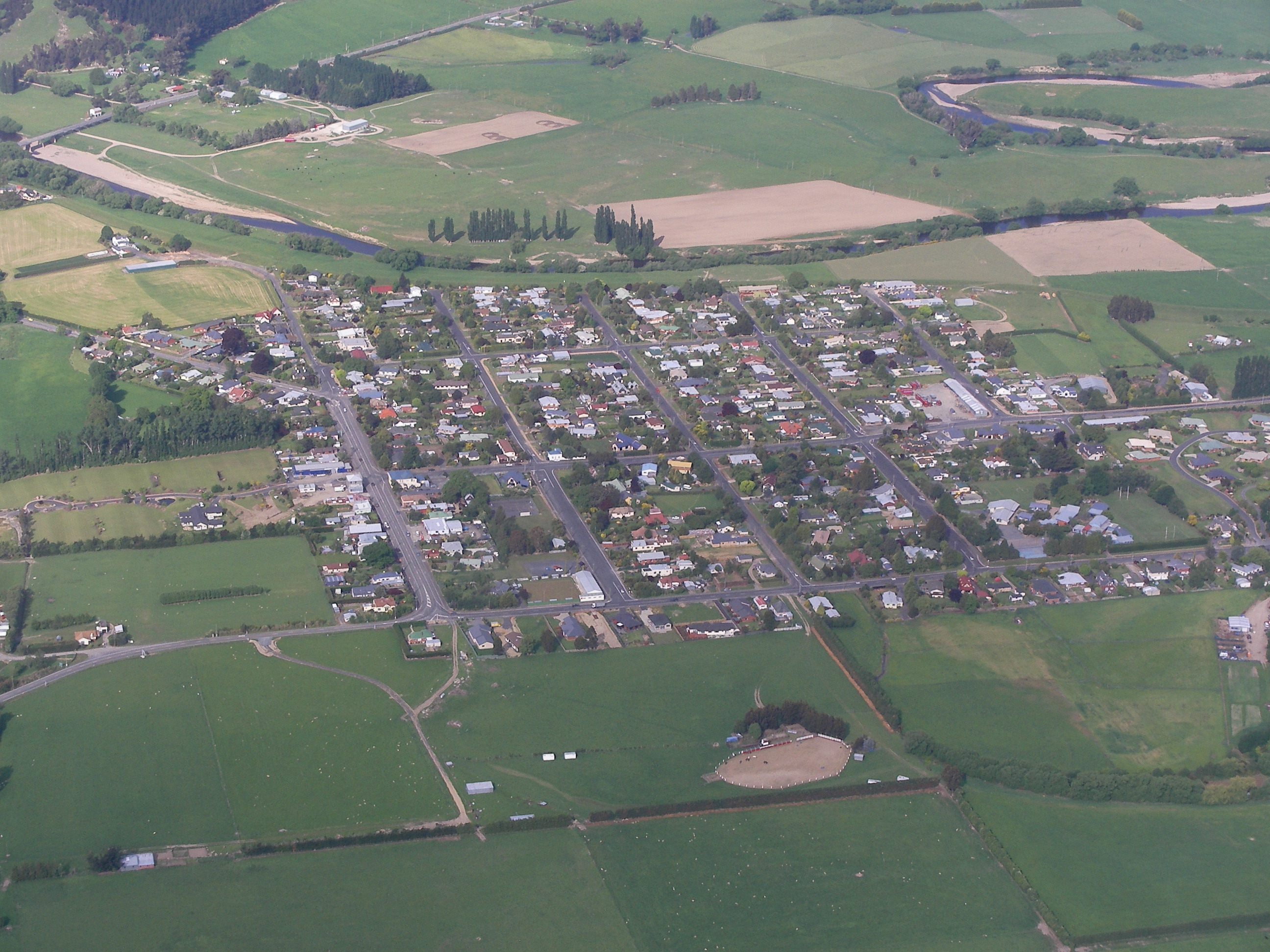
Kart over Corstorphine
Interaktivt kart
Retningsnumre
Prosent Områdekoder bruk av bedrifter i Corstorphine
Nylige jordskjelv i nærheten
Størrelse 3.0 og større
| Dato▼ | Tid↕ | Magnitude↕ | Distance↕ | Dybde↕ | Beliggenhet↕ | link |
|---|---|---|---|---|---|---|
| 6/1/15 | 11:18 AM | 4.3 | 32.1 km | 8,990 m | 33km WNW of Dunedin, New Zealand | usgs.gov |
| 10/16/14 | 5:44 AM | 4.1 | 28 km | 4,000 m | 29km WNW of Dunedin, New Zealand | usgs.gov |
| 2/6/11 | 12:52 AM | 4.1 | 98.1 km | 12,000 m | South Island of New Zealand | usgs.gov |
| 12/17/07 | 9:05 AM | 4.2 | 39 km | 12,000 m | off the east coast of the South Island of New Zealand | usgs.gov |
| 2/24/06 | 11:03 PM | 3.7 | 59.2 km | 12,000 m | off the east coast of the South Island of New Zealand | usgs.gov |
| 12/24/04 | 8:44 AM | 3.9 | 81.8 km | 12,000 m | South Island of New Zealand | usgs.gov |
| 2/11/04 | 12:31 AM | 4.5 | 77.8 km | 12,000 m | South Island of New Zealand | usgs.gov |
| 6/30/03 | 4:23 PM | 3.8 | 77.3 km | 21,000 m | South Island of New Zealand | usgs.gov |
| 10/21/00 | 1:57 PM | 4 | 99 km | 12,000 m | off the east coast of the South Island of New Zealand | usgs.gov |
| 10/12/00 | 8:40 AM | 4.5 | 93.5 km | 31,000 m | South Island of New Zealand | usgs.gov |


Om våre data
Dataene på denne siden er estimert ved hjelp av en rekke offentlig tilgjengelige verktøy og ressurser. De leveres uten garanti og kan inneholde unøyaktigheter. Bruk på eget ansvar.