Onaero fakta
| Område | 0.1 km² |
| Befolkning | 166 |
| Befolkningsendring (1975 to 2020) | +115.6% |
| Befolkningsendring (2000 to 2020) | +93.0% |
| Nabolag | Rd 43 |
| Lokal tid | |
| Tidssone | newzealandsk normaltid |
| Bredde- & lengdegrad | -39.00000, 174.35000 |
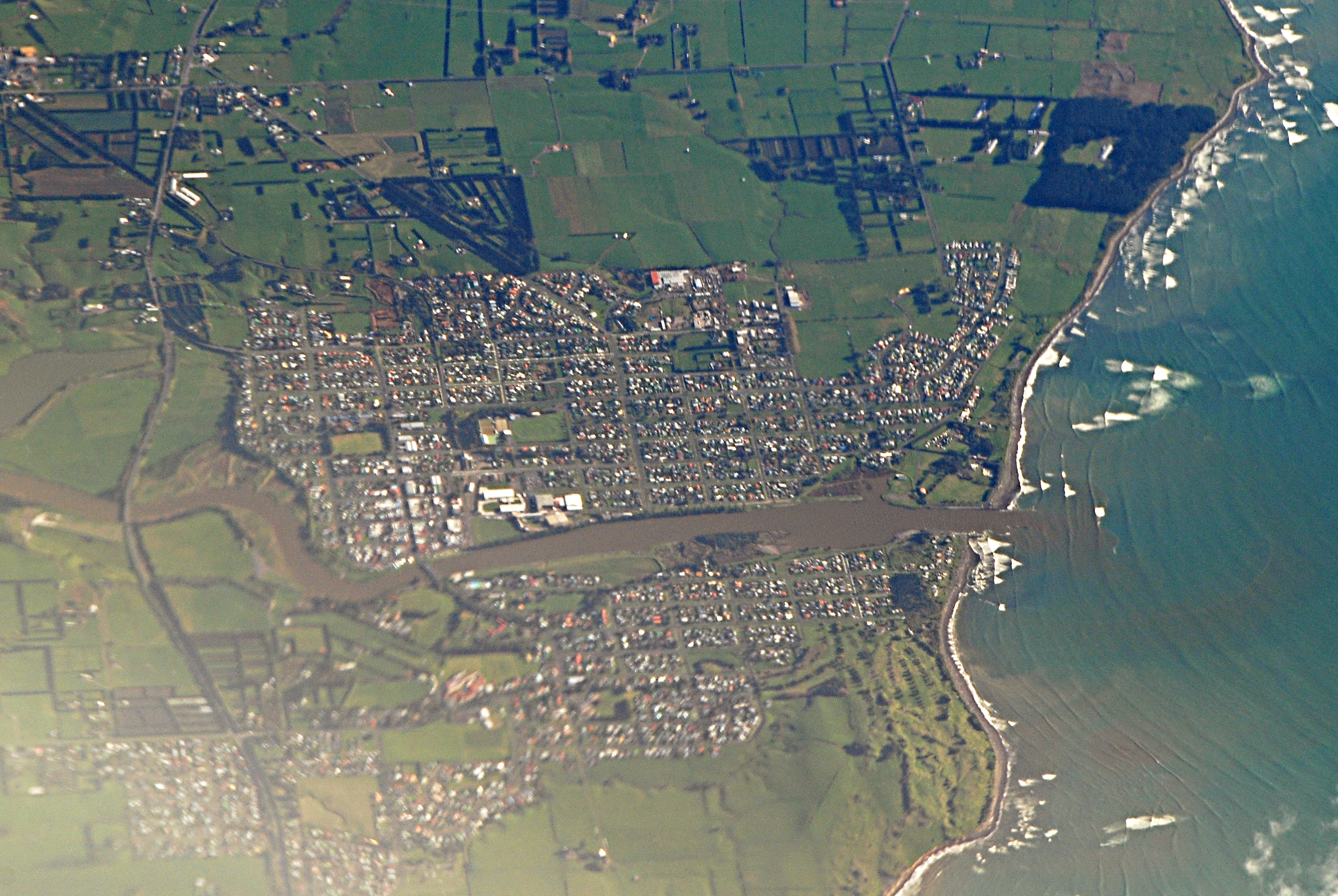
Kart over Onaero
Interaktivt kart
Onaero befolkning
Årene 1975 til 2030
| Data | 1975 | 1990 | 2000 | 2015 | 2020 | 2025* | 2030* |
|---|---|---|---|---|---|---|---|
| Befolkning | 77 | 92 | 86 | 106 | 166 | 177 | 187 |
| Befolkningstetthet | 1 232 / km² | 1 472 / km² | 1 376 / km² | 1 696 / km² | 2 656 / km² | 2 832 / km² | 2 992 / km² |
* Prognostisert
Kilder: JRC (European Commission's Joint Research Centre) arbeid med GHS built-up gridOnaero befolkningsendring fra 2000 til 2020
Økning på 93% fra 2000 til 2020
| Beliggenhet | Endring siden 1975 | Endring siden 1990 | Endring siden 2000 |
|---|---|---|---|
| Onaero | +115.6% | +80.4% | +93% |
| Taranaki | — | — | — |
| New Zealand | — | — | — |
Kilder: JRC (European Commission's Joint Research Centre) arbeid med GHS built-up grid
Onaero befolkningstetthet
Befolkningstetthet: 2 656 / km²
| Beliggenhet | Befolkning | Område | Tetthet |
|---|---|---|---|
| Onaero | 166 | 62 500 m² | 2 656 / km² |
| Taranaki | 116 941 | 12 703,1 km² | 9,2 / km² |
| New Zealand | 4,4 million | 270 103,3 km² | 16,3 / km² |
Kilder: JRC (European Commission's Joint Research Centre) arbeid med GHS built-up grid
Onaero historisk og prognostisert befolkning
Estimert befolkning fra 1750 til 2100
Kilder:
- JRC (European Commission's Joint Research Centre) arbeid med GHS built-up grid
- CIESIN (Center for International Earth Science Information Network)
- [link] Klein Goldewijk, K., Beusen, A., Doelman, J., and Stehfest, E.: Anthropogenic land use estimates for the Holocene – HYDE 3.2, Earth Syst. Sci. Data, 9, 927–953, https://doi.org/10.5194/essd-9-927-2017, 2017.
Human Development Index (HDI)
Statistisk sammensatt indeks over forventet levealder, utdanning og inntekt per innbygger.
Kilde: [link] Kummu, M., Taka, M. &Guillaume, J. Gridded global datasets for Gross Domestic Product and Human Development Index over 1990–2015. Sci Data 5, 180004 (2018) doi:10.1038/sdata.2018.4
Onaero CO2-utslipp
Utslipp av karbondioksid (CO2) per innbygger i tonn per år
| Beliggenhet | CO2-utslipp | CO2-utslipp per innbygger | CO2-utslippsintensitet |
|---|---|---|---|
| Onaero | 1,510 tn | 9.1 tn | 24,162.7 tons/km² |
| Taranaki | 600,363 tn | 5.13 tn | 47.3 tons/km² |
| New Zealand | 37,929,206 tn | 8.61 tn | 140.4 tons/km² |
Kilder: [link] Moran, D., Kanemoto K; Jiborn, M., Wood, R., Többen, J., and Seto, K.C. (2018) Carbon footprints of 13,000 cities. Environmental Research Letters DOI: 10.1088/1748-9326/aac72a
Onaero CO2-utslipp
| CO2-utslipp i 2013 (tonn/år) | 1,510 tn |
| CO2-utslipp i 2013 (tonn/år) per person | 9.1 tn |
| CO2-utslippsintensitet i 2013 (tonn/km²/år) | 24,162.7 tons/km² |
Naturlige farer
Relativ risiko av 10
| Fare | Risikonivå |
|---|---|
| Jordskjelv | Høy (8) |
| Cyclone | Middels (5) |
* Risiko, spesielt for flom eller skred, kan ikke være for hele området.
Kilder:
- Dilley, M., R.S. Chen, U. Deichmann, A.L. Lerner-Lam, M. Arnold, J. Agwe, P. Buys, O. Kjekstad, B. Lyon, and G. Yetman. 2005. Natural Disaster Hotspots: A Global Risk Analysis. Washington, D.C.: World Bank. https://doi.org/10.1596/0-8213-5930-4.
- Center for Hazards and Risk Research - CHRR - Columbia University, Center for International Earth Science Information Network - CIESIN - Columbia University, International Bank for Reconstruction and Development - The World Bank, and United Nations Environment Programme Global Resource Information Database Geneva - UNEP/GRID-Geneva. 2005. Global Cyclone Hazard Frequency and Distribution. Palisades, NY: NASA Socioeconomic Data and Applications Center (SEDAC). https://doi.org/10.7927/H4CZ353K.
- Center for Hazards and Risk Research - CHRR - Columbia University, Center for International Earth Science Information Network - CIESIN - Columbia University. 2005. Global Earthquake Hazard Distribution - Peak Ground Acceleration. Palisades, NY: NASA Socioeconomic Data and Applications Center (SEDAC). https://doi.org/10.7927/H4BZ63ZS.
Nylige jordskjelv i nærheten
Størrelse 3.0 og større
| Dato▼ | Tid↕ | Magnitude↕ | Distance↕ | Dybde↕ | Beliggenhet↕ | link |
|---|---|---|---|---|---|---|
| 6/28/19 | 1:00 AM | 4 | 44.3 km | 209,460 m | 55km ESE of Waitara, New Zealand | usgs.gov |
| 12/6/17 | 12:56 AM | 4.5 | 36.3 km | 195,540 m | 46km ESE of Waitara, New Zealand | usgs.gov |
| 2/19/12 | 8:07 AM | 5 | 46.7 km | 325,400 m | North Island of New Zealand | usgs.gov |
| 12/27/11 | 10:22 PM | 4.1 | 42 km | 202,000 m | North Island of New Zealand | usgs.gov |
| 11/4/11 | 8:23 AM | 4.1 | 35.4 km | 264,000 m | North Island of New Zealand | usgs.gov |
| 8/1/11 | 2:39 PM | 4.2 | 40.4 km | 271,300 m | North Island of New Zealand | usgs.gov |
| 11/27/10 | 7:31 PM | 4.4 | 39 km | 222,700 m | North Island of New Zealand | usgs.gov |
| 10/5/10 | 3:36 PM | 4 | 42 km | 215,600 m | North Island of New Zealand | usgs.gov |
| 9/5/10 | 1:29 PM | 4.4 | 50.5 km | 237,800 m | North Island of New Zealand | usgs.gov |
| 3/4/10 | 10:21 PM | 4.6 | 33.9 km | 203,000 m | North Island of New Zealand | usgs.gov |


Om våre data
Dataene på denne siden er estimert ved hjelp av en rekke offentlig tilgjengelige verktøy og ressurser. De leveres uten garanti og kan inneholde unøyaktigheter. Bruk på eget ansvar.